


We’ll be keeping a close eye on showers and thunderstorms tonight as a cluster of storms approaches from the west. Some storms could be strong late tonight and into the overnight, especially west of Interstate 75 with the potential for gusty winds and some hail. As we head deeper into the overnight hours, the focus shifts toward heavier rainfall, particularly across parts of northern Kentucky and southeast Indiana. While not everyone will see significant rain, some locations could pick up very heavy downpours if storms repeatedly move over the same areas. As a result, a FLOOD WATCH is out until midnight for some counties in the area.

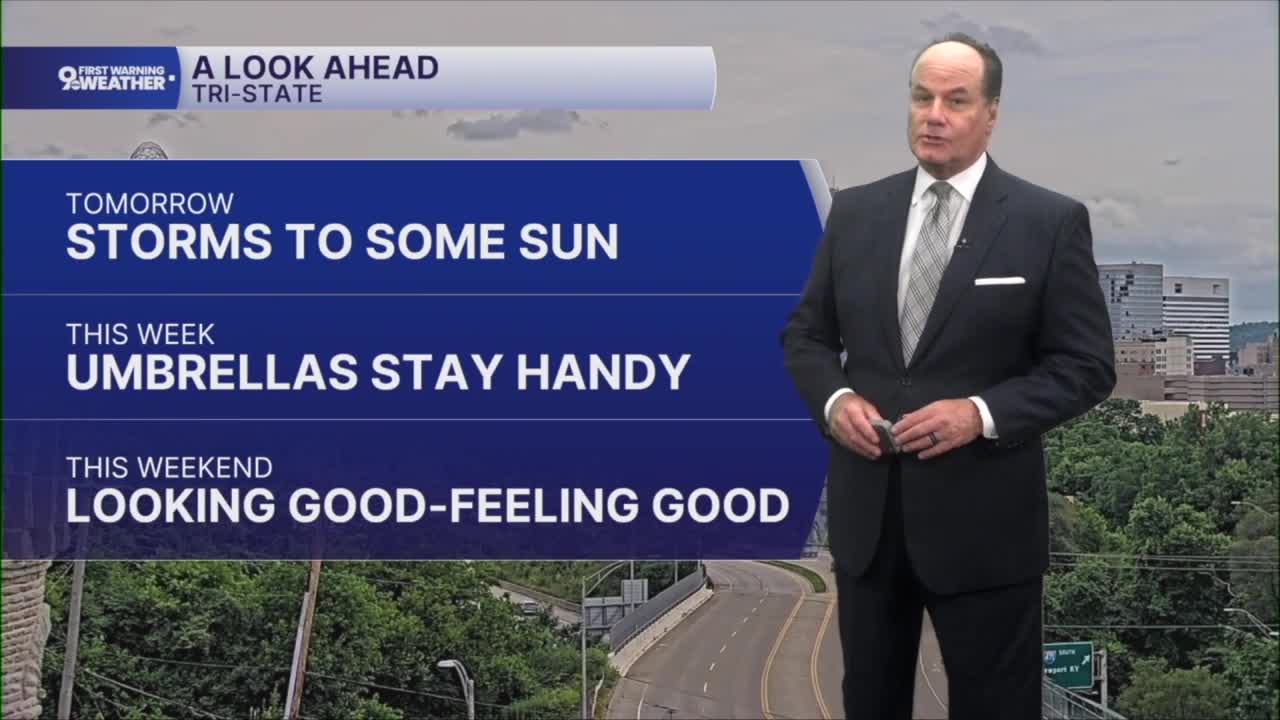
Wednesday morning it'll be warm and muggy with temps in the 70s. Scattered showers and thunderstorms will still be around through midday. After that, conditions improve as clouds gradually break and sunshine returns for the afternoon. Temperatures will climb into the upper 80s, and with plenty of humidity still in place, it will feel even hotter.
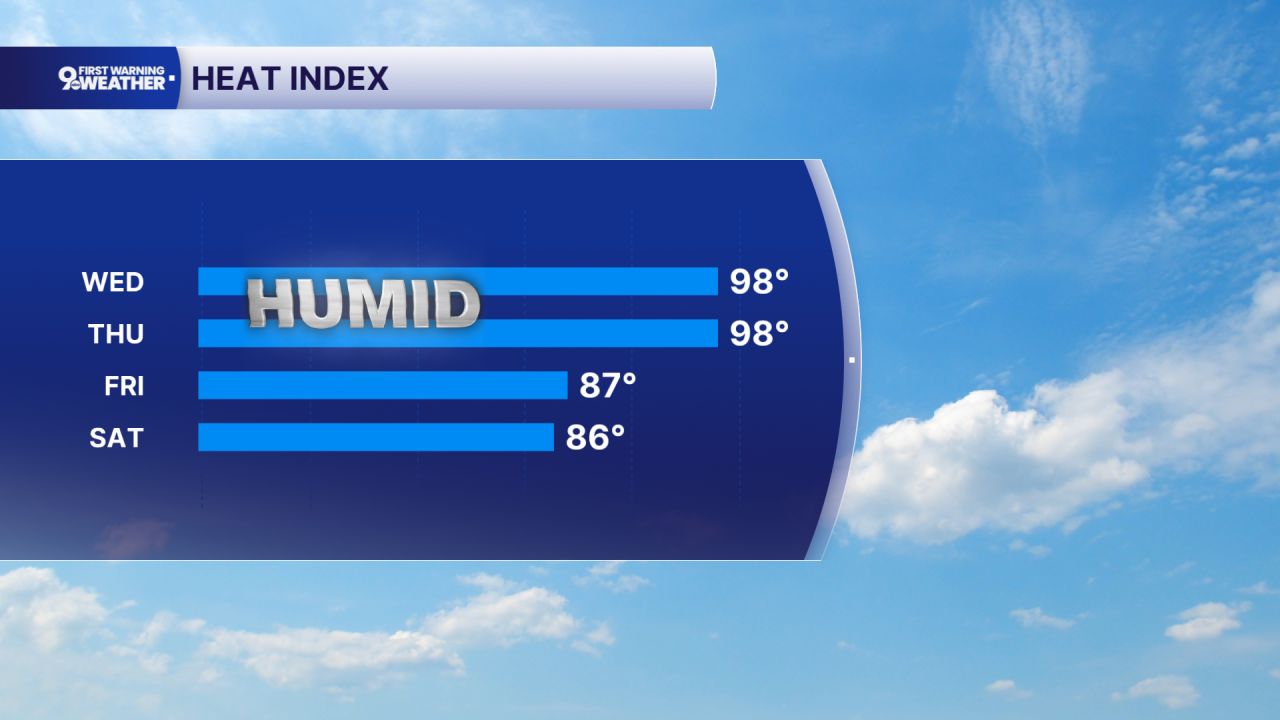
That summerlike pattern continues Thursday with a mix of sunshine, heat, and humidity. Highs will once again reach around 90 degrees, and while a stray shower or thunderstorm can’t be ruled out, many communities will stay dry. Warm nights continue as temperatures hold in the low to mid-70s.
Friday brings the next better chance for showers and thunderstorms as a cold front approaches. Some storms could become strong. Once that front moves through, the weather improves for the weekend. Expect sunshine, lower humidity, and comfortable temperatures in the mid-80s on Saturday. Sunday starts mostly dry before another chance for afternoon and evening thunderstorms returns.
TONIGHT
Scattered rain & storms
Some will produce hevay rain
Low: 70
WEDNESDAY
Scattered storms
Very humid
High: 88
WEDNESDAY NIGHT
Isolated rain chance
Humid
Low: 72
9 First Warning Weather 24/7 Livestream
==========
- Interactive Radar: Track weather to your doorstep
- Sign up for severe weather email alerts
- Check latest school closings and delays
- WCPO traffic updates
- Metro bus detours and updates (or call the hotline at 513-632-7538)
- Latest power outages from Duke Energy
- Flight cancellations and delays from CVG, other U.S. airports
