


We made it into the low 50s across the Tri-State on Tuesday, but things are about to get a lot colder within hours, as temps drop about 20 degrees from today!
A few pockets of light rain will fall through daybreak, so there could be some wet roads for the morning commute.

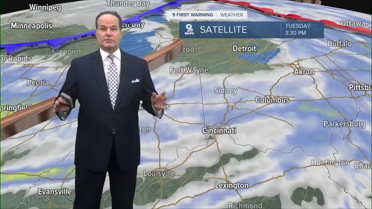
Isolated, light showers will continue through the morning with temperatures in the low 40s to start the day. Then, a cold front moves through, bringing arctic cold air.
This will lead to falling temperatures in the afternoon hours, eventually getting into the upper 20s and low 30s by the evening rush. This will change some of the scattered rain into scattered snow showers or flurries during the afternoon. Accumulations aren't looking large, with a dusting to a 1/2" in hit or miss spots.

Some sunshine is back for Thursday, but it will be uncomfortably cold! We'll start the day at 19 and only warm to 26 degrees.
Friday and Saturday bring snow showers back, but this time with possible accumulation. A clipper system will move across the Great Lakes region, and some of that snow will make it into the Ohio Valley as well. It isn't looking like a big event for us, with most computer models under 1.5" of snow over the two days, but we will need to watch out for some slick spots.

Then temperatures take another tumble to end the weekend. Sunday will be in the low 20s. We stay cold early in the next workweek with morning lows in the teens and only reaching the mid to upper 20s both Monday and Tuesday.
OVERNIGHT
Light showers develop
Mostly cloudy
Low: 40
WEDNESDAY
Few rain showers to a
Wintry mix to a light snow chance
Falling temps into the low 30s by the afternoon
High: 43
WEDNESDAY NIGHT
Isolated snow showers and flurries
Mostly cloudy and colder
Low: 19
9 First Warning Weather 24/7 Livestream
==========
- Interactive Radar: Track weather to your doorstep
- Sign up for severe weather email alerts
- Check latest school closings and delays
- WCPO traffic updates
- Metro bus detours and updates (or call the hotline at 513-632-7538)
- Latest power outages from Duke Energy
- Flight cancellations and delays from CVG, other U.S. airports
