

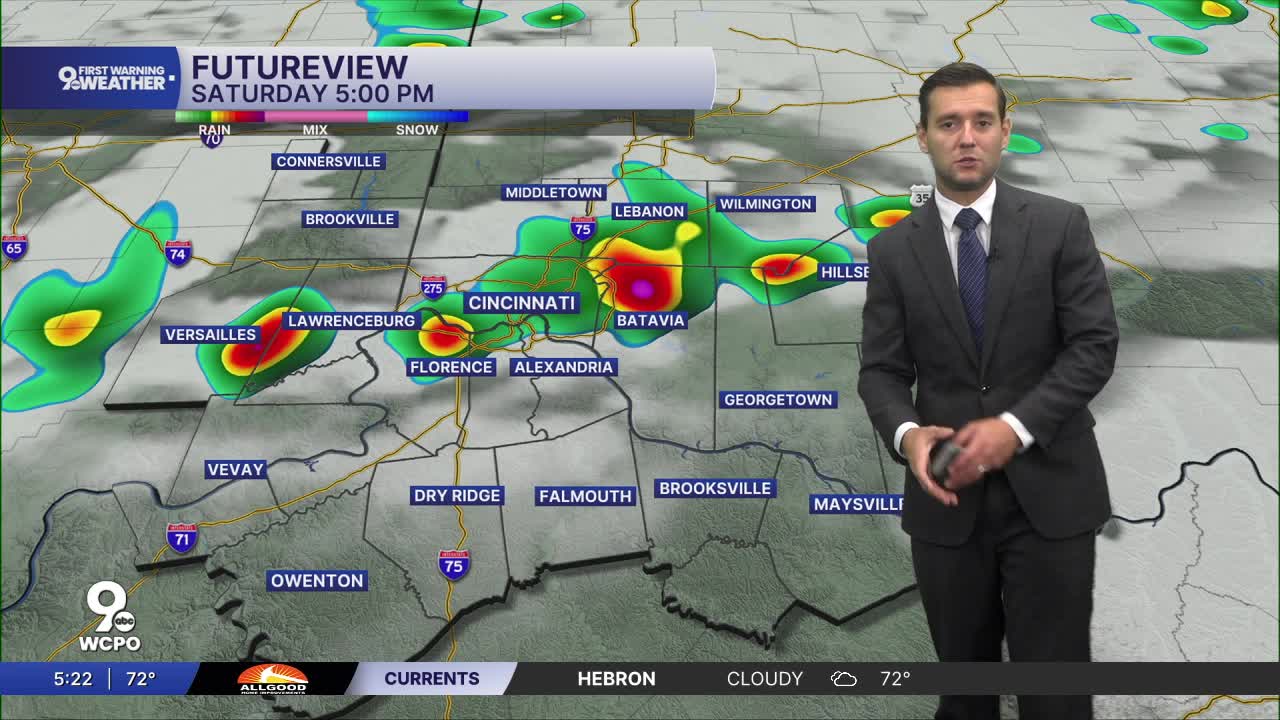


We've got a lot going on this weekend and unfortunately the weather will play a big role.
We are waking up this morning dry and we even stay sunny for the first half of the day. Once we move into the mid-afternoon hours, we start to see showers and storms move in.

Current timeline for downtown looks to be around 4pm and lingering through 7 or 8. Showers and thunderstorms remain possible tonight, with temperatures only dropping into the upper 60s.

By the time most of us wake up tomorrow, we will be dry. However, we once again deal with rain and storm chances tomorrow evening. A repeat of today, dry for the majority of the day with a window of showers and storms later in the afternoon.
Weak areas of low pressure moving along the stalled front keep periods of showers and possibly thunderstorms in the forecast Monday into Tuesday. Temperatures respond by turning much cooler, falling to around 80 Monday and the mid 70s Tuesday. By Wednesday and Thursday, Cincinnati dries out more, with partly sunny skies and highs settling into the low 70s.
TODAY
Partly cloudy
Scattered afternoon storms
High: 88
SATURDAY NIGHT
Storms ending late
Mostly cloudy
Low: 70
SUNDAY
Partly cloudy
Spotty storms
HIGH 88
9 First Warning Weather 24/7 Livestream
==========
- Interactive Radar: Track weather to your doorstep
- Sign up for severe weather email alerts
- Check latest school closings and delays
- WCPO traffic updates
- Metro bus detours and updates (or call the hotline at 513-632-7538)
- Latest power outages from Duke Energy
- Flight cancellations and delays from CVG, other U.S. airports
