


Dry air, sunshine and mild temperatures are going to highlight the forecast the next few days.
Our Tuesday forecast starts with clear conditions and temperatures in the upper 50s and low 60s. The sky will be sunny throughout the day as temperatures rise to 79 degrees. You won't notice humidity today either!
High pressure is still around on Wednesday, giving us a carbon copy forecast. Temperatures start at 59 and warm to 80 degrees. Winds will shift to the southwest at 5 to 10 mph.
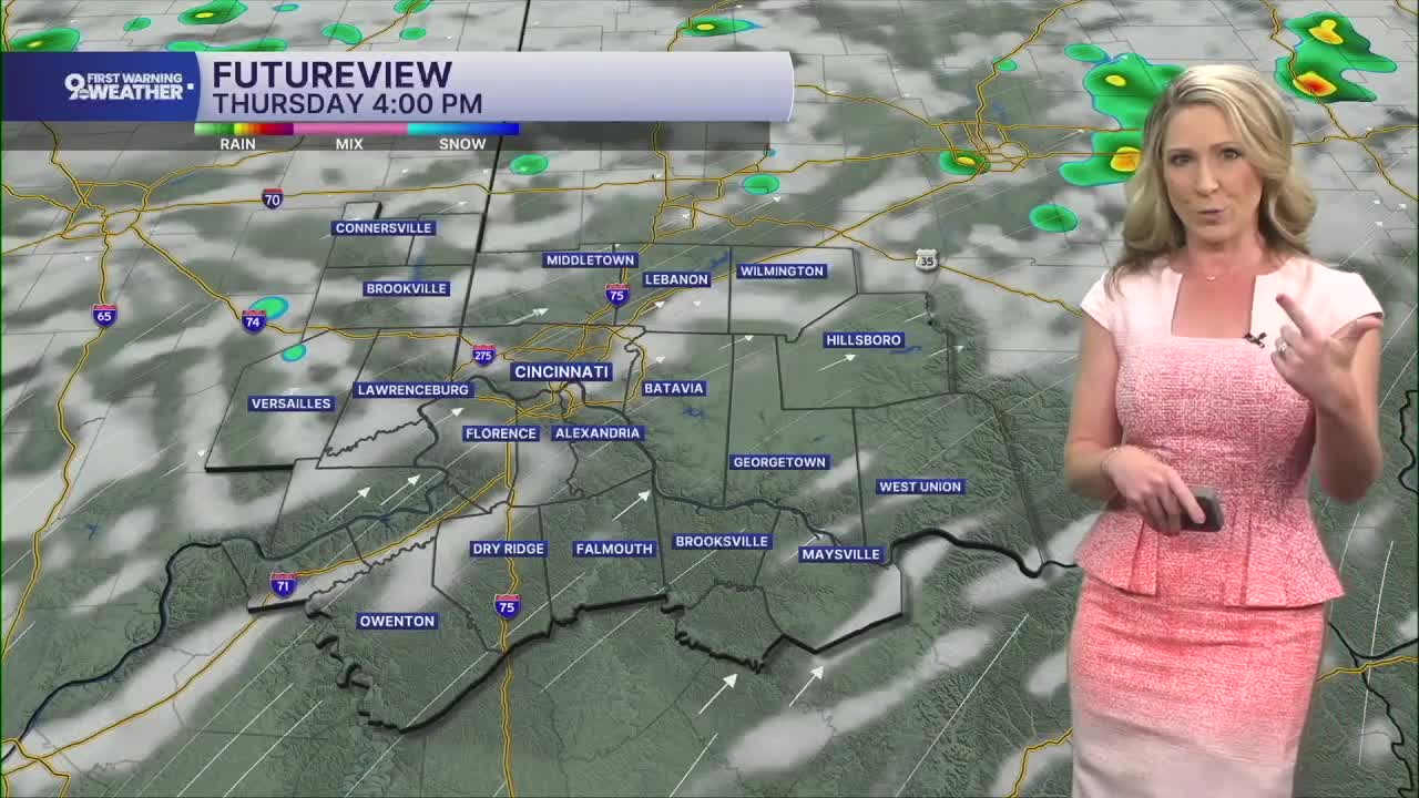
Most of our Thursday forecast will be dry but moisture and heat are starting to rise. Low pressure is building out to the west during the day as temperatures rise to 83 degrees. I can't rule out an isolated shower, but the better rain chance will come in Thursday night.
Showers are likely Thursday night and throughout most of our Friday forecast. If you have outdoor plans on this day, definitely have an indoor alternative. We'll have a closer look at timing as we get closer to Friday, but I'm seeing signs of waves of showers and storms for most of the day.
Scattered showers and storms will continue on Saturday, too.
The big story next week will be the appearance of both heat and humidity, finally! Highs rise to around the 90-degree mark and we'll also experience more humidity. Pop-up storms will be possible each afternoon due to this combo of heat and humidity.
MORNING RUSH
Clear sky
Cooler
Low: 61
TUESDAY
Ample sunshine
Dry and pleasant
High: 79
TUESDAY NIGHT
Clear sky
Dry
Low: 59
WEDNESDAY
Mostly sunny
Mild, low humidity
High: 80
WEDNESDAY NIGHT
Partly cloudy
Pleasant
Low: 65
9 First Warning Weather 24/7 Livestream
==========
- Interactive Radar: Track weather to your doorstep
- Sign up for severe weather email alerts
- Check latest school closings and delays
- WCPO traffic updates
- Metro bus detours and updates (or call the hotline at 513-632-7538)
- Latest power outages from Duke Energy
- Flight cancellations and delays from CVG, other U.S. airports
