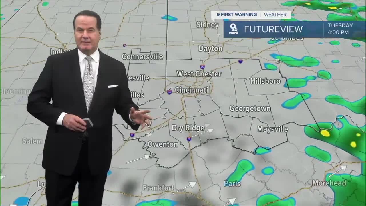


Clouds are thickening up across the area as a weak cold front moves in. This front will bring a wide area of rain that spreads over southwest Ohio through the night. Most places will see just plain rain, but temperatures in central Ohio will get close to freezing. So, if you're traveling to Columbus, a few spots could see a quick mix of rain and snow early in the morning, mainly around daybreak.

Rain will be heavy, at times, and some places could pick up around an inch of rain by the time everything moves out. The rain continues through the morning and may last into the early afternoon. Temperatures won’t warm up much at all and most highs will only reach the upper 40s, so it will feel chilly and damp most of the day.
Later on, especially in Northern Kentucky, there’s even a small chance of a rumble of thunder or tiny hail, but nothing severe. The atmosphere just isn’t strong enough to support damaging storms.

While we'll get a dry break on Wednesday and during the day on Thursday, the rain and showers begin again on Thursday night with a continuation into Friday. At least, the highs will slowly reach the 60 degree mark by the end of the week. It's a trade off as the sun's back for Saturday and Sunday.

OVERNIGHT
Increasing clouds
Rain develops
Low: 38
TUESDAY
Rain
Heavy at times
High: 50
TUESDAY NIGHT
Leftover shower
Stays cloudy
Low: 42
9 First Warning Weather 24/7 Livestream
==========
- Interactive Radar: Track weather to your doorstep
- Sign up for severe weather email alerts
- Check latest school closings and delays
- WCPO traffic updates
- Metro bus detours and updates (or call the hotline at 513-632-7538)
- Latest power outages from Duke Energy
- Flight cancellations and delays from CVG, other U.S. airports
