

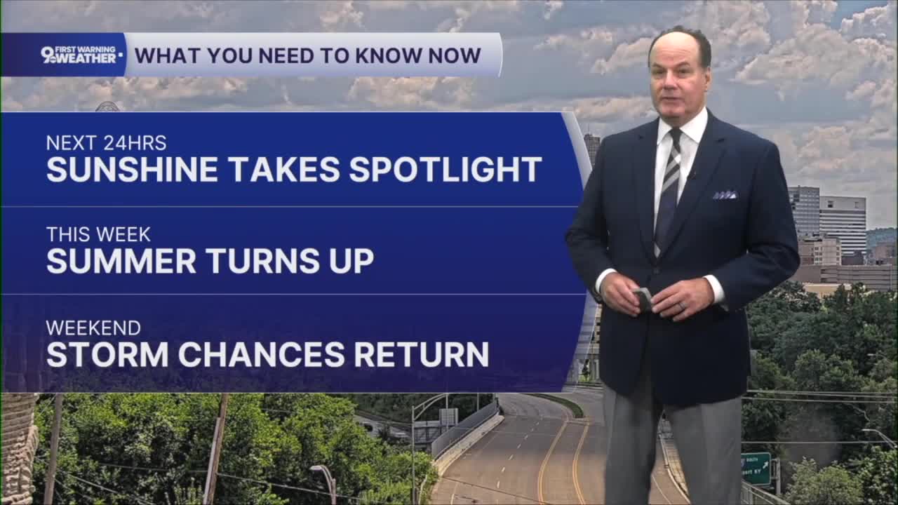


Get ready for a stretch of classic midsummer weather across the Cincinnati Tri-State. Skies stay clear overnight, with temperatures settling into the upper 60s as light winds become calm. Sunshine quickly takes over Tuesday, and with high pressure holding firm across the region, we'll enjoy another dry day with afternoon temperatures climbing to the low 90s.

That same weather pattern sticks around through the latter part of the workweek, bringing plenty of sunshine, little to no chance of rain, and highs generally in the lower 90s. Nights remain warm as well, with temperatures in the low to mid-70s under mostly clear skies. For Tuesday, an Air Quality Advisory is out for Greater Cincinnati. Folks with respiratory issues should be careful, as ozone will be near or exceed healthy limits.

The big story through at least Thursday will be the heat. When you combine the warm temperatures with the humidity, it will feel even hotter during the afternoon, with heat index values reaching the upper 90s to around 100 degrees at times. Wednesday and Thursday are expected to be the hottest days of the week, so if you're spending time outdoors, be sure to take breaks, stay hydrated, and limit strenuous activity during the hottest part of the afternoon.
By the end of the week, the weather pattern begins to change. The upper-level ridge that has been keeping us hot and dry starts to weaken as a low-pressure system moves through the Great Lakes. That allows a chance for showers and thunderstorms to potentially return for the weekend.

Specifically, computer models show Friday is our first chance, with a 30% chance for Saturday, with additional chances continuing into Saturday night and Sunday. Not everyone will see rain all the time, but it's a good idea to keep an eye on the forecast if you have outdoor plans. Along with the returning rain chances, temperatures ease back a bit heading into the weekend.
OVERNIGHT
Clear sky
Warm and dry
Low: 68
TUESDAY
Sunshine
Air Quality Advisory
High: 91
TUESDAY NIGHT
Clear sky
Warm, dry
Low: 70
9 First Warning Weather 24/7 Livestream
==========
- Interactive Radar: Track weather to your doorstep
- Sign up for severe weather email alerts
- Check latest school closings and delays
- WCPO traffic updates
- Metro bus detours and updates (or call the hotline at 513-632-7538)
- Latest power outages from Duke Energy
- Flight cancellations and delays from CVG, other U.S. airports
