


Tonight should be mostly clear, with a chance of patchy fog as temperatures fall into the low 20s, so if you’re driving early in the morning, that mist could make the roads look a bit dreamy.
Thursday will be a Mother Nature copy and paste with partly sunny skies and temperatures in the upper 30s to around 40, and lows Thursday night will again dip into the low 20s under clear skies, making for another chilly night. Friday brings a bit of a payoff for all that cold: sunshine returns and highs should nudge into the upper 40s, a nice break from the season’s chill, with mostly clear conditions lasting into Friday night.

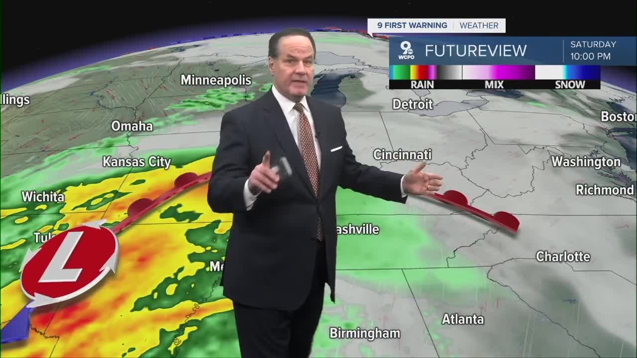
Saturday will be the warmest day of the stretch with highs near the low 50s and partly sunny skies, the kind of day that almost makes you think spring is around the corner. Saturday night brings increasing clouds and a chance of showers. Saturday night lows will be in the upper 30s with a 30% chance of rain, and Sunday’s high near 50 will come with rain likely at times, so outdoor plans may need that rain jacket handy.

WEDNESDAY NIGHT
Mostly clear
Foggy areas
Low: 23
THURSDAY
Partly cloudy
Cool
High: 39
THURSDAY NIGHT
Partly cloudy
Dry
Low: 24
9 First Warning Weather 24/7 Livestream
==========
- Interactive Radar: Track weather to your doorstep
- Sign up for severe weather email alerts
- Check latest school closings and delays
- WCPO traffic updates
- Metro bus detours and updates (or call the hotline at 513-632-7538)
- Latest power outages from Duke Energy
- Flight cancellations and delays from CVG, other U.S. airports
