


Tonight will start calm but chilly with lingering cloud cover and possibly some patchy fog as temperatures dip toward freezing.
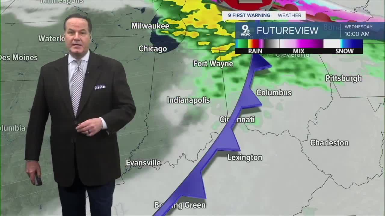
Tuesday will bring a noticeable bump in temperatures as warm air surges back into the Ohio Valley. Expect mostly cloudy skies with highs climbing well above normal for this time of year, reaching into the upper 50s by the afternoon, almost like spring is peeking around the corner.As Wednesday unfolds, keep an eye on the sky. A weak system is moving in, and with it comes the chance for showers. Wednesday's high may flirt with record warmth, making it feel more like an early April day than mid-February.

Another stronger system arrives on Thursday. Rain and storms are likely as soon as the afternoon and more likely in the evening. Some of these storms could be locally strong with gusty winds, so it’s wise to have your phone handy for our alerts. While widespread severe weather isn’t the headline and only a small chance, any storm could still put down some heavy rain and blustery wind. Perhaps, even turn severe.

Looking ahead to the weekend, the pattern shifts. Friday should be a transition day with mostly sunny skies and cooler air filtering back into the region. Temperatures will be a refreshing drop from the mid-week warmth but still comfortable compared to deep winter chills. The weekend itself will settle into more seasonable conditions—a mix of sunshine and clouds with highs in the 40s. Saturday night into Sunday morning will feel crisp as the cool air lingers near the ground, and frost is possible if skies clear and winds stay light.
TONIGHT
Mostly cloudy
Foggy areas
Low: 37
TUESDAY
Mostly cloudy
Warmer again
High: 58
TUESDAY NIGHT
Mostly cloudy
Warm
Low: 52
9 First Warning Weather 24/7 Livestream
==========
- Interactive Radar: Track weather to your doorstep
- Sign up for severe weather email alerts
- Check latest school closings and delays
- WCPO traffic updates
- Metro bus detours and updates (or call the hotline at 513-632-7538)
- Latest power outages from Duke Energy
- Flight cancellations and delays from CVG, other U.S. airports
