



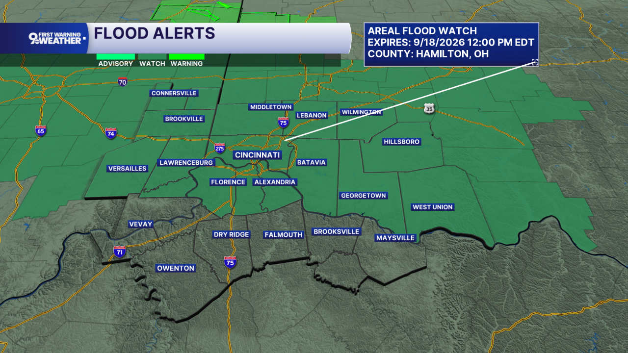
Tonight, our weather begins to change across Greater Cincinnati and the Tri-State as the front sitting to our north moves south. Showers and thunderstorms become more likely by daybreak, and because the atmosphere remains loaded with moisture, some storms could produce locally heavy rain. A Flood Watch is out from midnight through noon on Friday.
Temperatures only fall into the low 70s. Friday starts wet, with showers and thunderstorms likely during the morning before rain chances decrease around midday. The front settles south of the area, and added cloud cover plus somewhat drier air will knock temperatures back into the mid 80s.

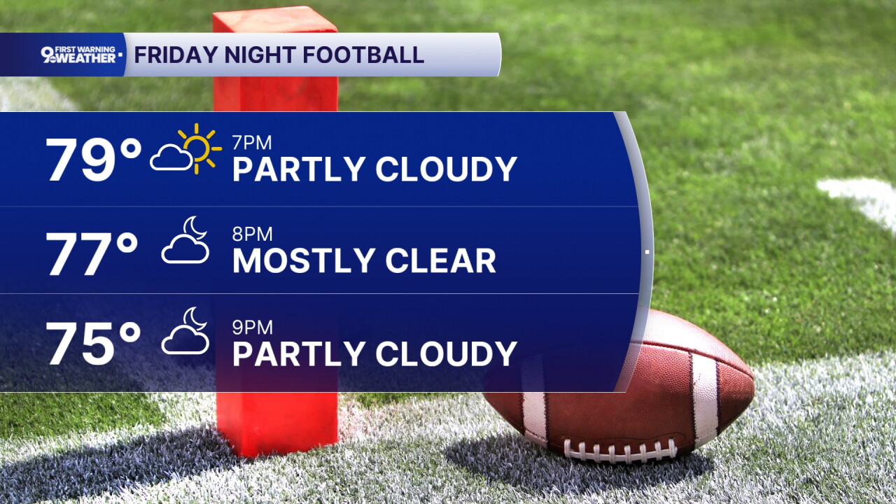
Friday night looks quiet and milder, with partly cloudy skies and lows in the mid 60s.
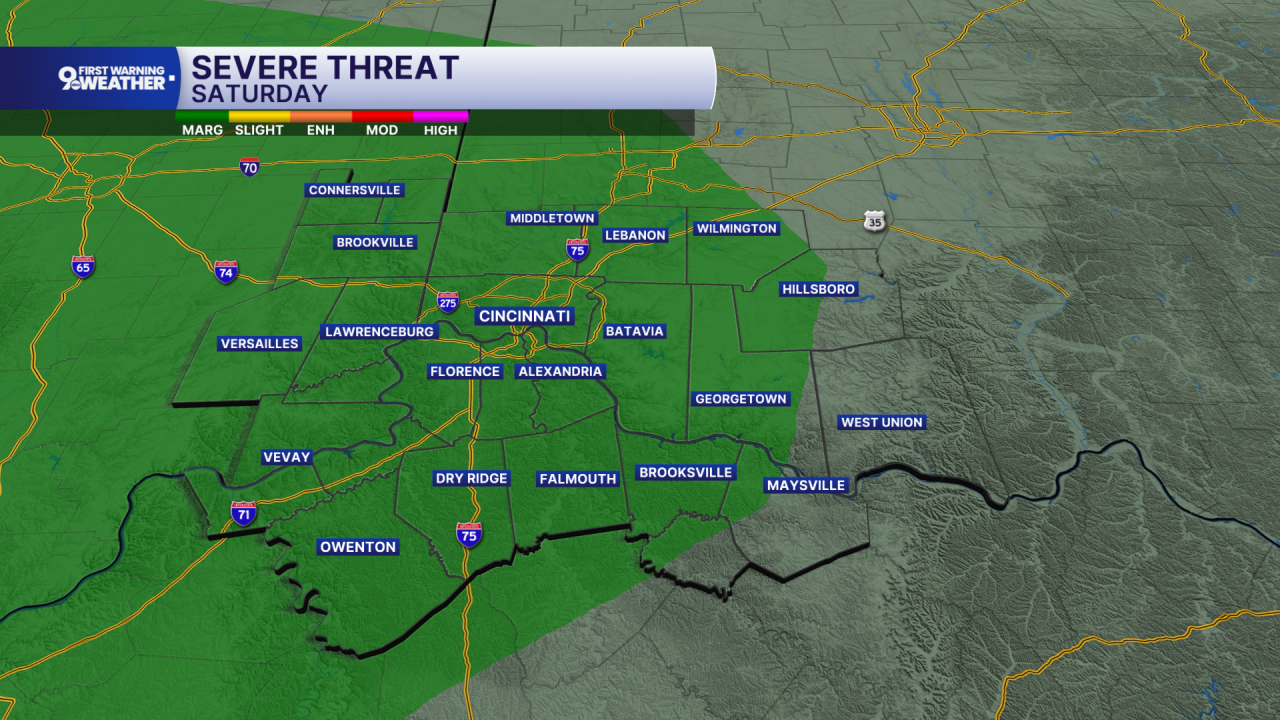
Saturday starts the weekend on a mostly sunny note and warms back to around 90 as the front begins returning north and moisture increases again. Shower and thunderstorm chances return Saturday night. Sunday stays warm, reaching the low 90s, with another chance for showers and thunderstorms during the afternoon as a cold front approaches. That front moves through later Sunday and begins a gradual cooling trend.
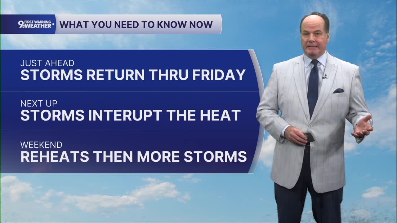
Monday turns partly sunny with highs in the mid 80s. Additional shower chances return Monday night and continue Tuesday and Wednesday, while temperatures ease into the low 80s. By the middle of next week, the National Weather Service expects temperatures to be much closer to normal. The main message is a brief Friday cooldown, another warm weekend, and then a more noticeable return toward seasonal temperatures next week
OVERNIGHT
Rain and storms likely
Low: 72
FRIDAY
Spotty Rain & storms early
Partly Cloudy
High: 84
FRIDAY NIGHT
Partly cloudy
Muggy
Low: 69
9 First Warning Weather 24/7 Livestream
==========
- Interactive Radar: Track weather to your doorstep
- Sign up for severe weather email alerts
- Check latest school closings and delays
- WCPO traffic updates
- Metro bus detours and updates (or call the hotline at 513-632-7538)
- Latest power outages from Duke Energy
- Flight cancellations and delays from CVG, other U.S. airports
