


A very mild overnight starts a pleasant weekend for the Tri-State before a complete weather pattern change starting on Monday. we'll wake up with temps near 60 degrees in the morning. Then, a cold front will trigger rain and thunderstorms on Monday before unleashing much colder/cooler air across the Tri-State. Afternoon temps will drop over 20 degrees in just 48 hours!

While Saturday will be completely sunny, Sunday will see increasing clouds leading to a very small chance for showers late at night. Rain will begin early on Monday as it stands now. But, make sure to catch Raven or Brandon for the updated timeline this weekend.

Next week, not only will temps drop significantly by Monday, afternoon highs will remain below average all week and into next weekend. The chill of upper 30s and upper 50s will be around for Tuesday and Wednesday. Our average high is 68 degrees at this time of year.
OVERNIGHT
Mostly Clear
Mild
Low: 57
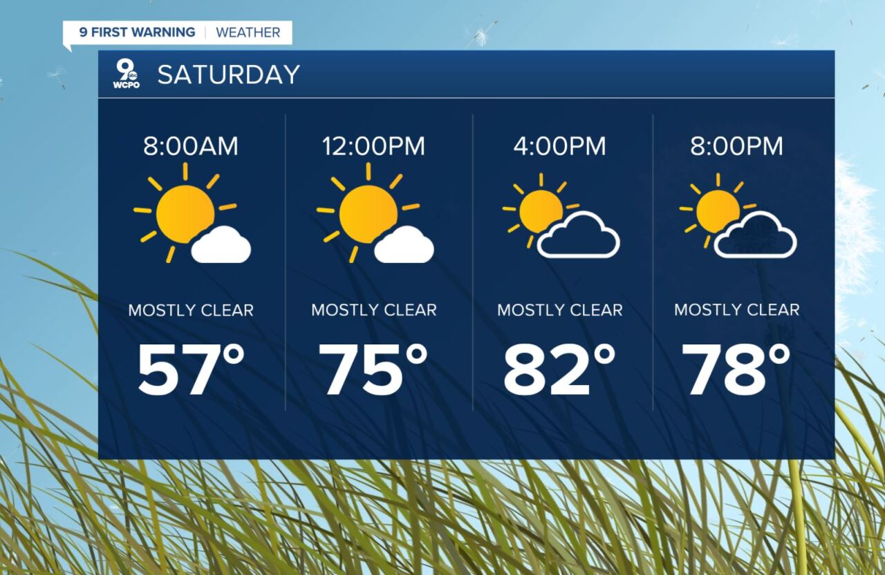
SATURDAY
Partly cloudy
Breezy
High: 82
SATURDAY NIGHT
Partly cloudy
Pleasant
Low: 63
SUNDAY
Partly cloudy
Warm again
High: 80
==========
